
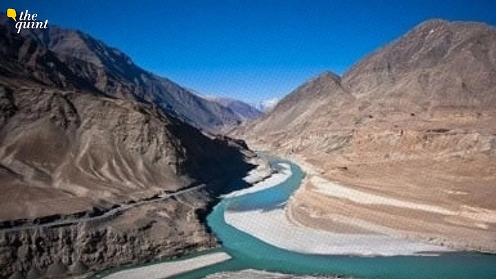
The Indus Waters Treaty was signed in 1960, when the glaciers, snow cover, and rivers of the Himalaya were generally understood as relatively stable features of the landscape. More than six decades later, that assumption is becoming harder to sustain.
The political dispute between India and Pakistan over the treaty is usually discussed in terms of water sharing, hydropower, and national security. But another dimension that deserves much greater attention is that the physical river system itself is changing.
As a climate scientist working on mountain climate and hydroclimate, I find this increasingly important in the Indus debate.
Mountain temperatures have risen, snow cover is changing, glaciers are losing mass, and the timing of runoff is shifting. At the same time, intense rainfall, landslides, rock and ice failures and large sediment pulses can create hazards for infrastructure.
These are not conditions that the engineers who designed the original treaty could have anticipated in the way we understand them today. This does not make the treaty irrelevant. It raises a more practical question: can a framework negotiated more than six decades ago provide enough flexibility to manage a river basin whose climate and physical behaviour are changing?