
The Next Landslide in the Western Ghats Should Not Surprise Us
Heavy rain is not unusual in the Western Ghats. It is an intrinsic part of how this mountain system functions.
advertisement
The Quint is telling the full story of how climate change is reshaping lives in India. Help us do more. Become a member.
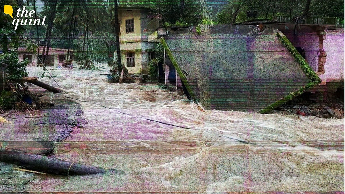
The first week of July offered a stark reminder that the southwest monsoon is both India's greatest natural asset and one of its most powerful natural forces. Torrential rain battered the Western Ghats from Kerala to Maharashtra, triggering landslides and flash floods.
In Wayanad, a landslide struck a tunnel construction site, while in Maharashtra, the Sahyadri ranges witnessed some of the most intense rainfall in recent decades, leaving highways blocked, railway services disrupted, and several villages temporarily cut off.
The Mountains That Make the Monsoon
The Western Ghats are among the most efficient rainfall-producing mountain systems in the world.
Stretching for nearly 1,600 km along India's west coast, they intercept the moisture-laden southwest monsoon winds arriving from the Arabian Sea.
As these winds encounter the steep mountain slopes, they are forced to rise rapidly. The rising air cools, clouds develop, and intense rainfall follows.
This process, known as orographic lifting, explains why places such as Mahabaleshwar, Agumbe, and Wayanad receive some of the highest rainfall totals in the country.
A Delayed Monsoon Does Not Mean a Weak Monsoon
Only a few weeks ago, much of the discussion centred on the delayed advance of the southwest monsoon due to the impact of El Niño. Some even questioned whether the season would remain weak.
The events of early July demonstrate why such conclusions can be misleading.
Monsoon onset simply marks the arrival of the seasonal circulation. It tells us very little about how active the monsoon will become later.
A low-pressure system moving inland from the Bay of Bengal, an offshore trough along India's west coast, and favourable monsoon circulation together channelled enormous amounts of moisture from the Arabian Sea towards the Western Ghats.
The result was an exceptionally active spell that produced widespread heavy rainfall across Maharashtra and Kerala.
Why Did Rainfall Become So Intense?
Mountain meteorology provides an important part of the answer.
Extreme rainfall over mountains depends not only on how much moisture is present in the atmosphere, but also on how mountains interact with the airflow.
During active monsoon conditions, strong low-level westerly winds continuously transport moisture towards the Western Ghats. As this moisture encounters steep terrain, it is repeatedly lifted, generating new clouds over the same region.
When this process continues for many hours, the same valleys and hill slopes receive repeated bursts of heavy rainfall.
This is why neighbouring locations can experience remarkably different rainfall totals within short distances.
The first week of July in Maharashtra illustrated this perfectly.
Mahabaleshwar recorded more than 500 mm of rain within 24 hours, while several locations in the Sahyadri ranges received between 500 and 600 mm during the same period.
Lonavala accumulated more than a metre of rain within 48 hours, overwhelming transport networks connecting Mumbai and Pune.
Climate Change Is Changing the Climatic Conditions
Climate change is not creating the southwest monsoon, nor is it responsible for every landslide. But it is changing the environment in which these weather systems develop.
A warmer atmosphere can hold roughly seven percent more water vapour for every degree Celsius of warming. At the same time, the Arabian Sea has warmed significantly over recent decades and is experiencing more frequent marine heatwaves.
Together, these changes increase the amount of moisture available to the monsoon circulation.
When favourable weather systems develop, they now have access to a larger reservoir of atmospheric moisture, increasing the likelihood of short-duration, high-intensity rainfall.
In simple terms, the atmosphere is becoming more efficient at producing intense rainfall events.
When Natural Hazards Become Disasters
Heavy rainfall is a natural hazard. A disaster occurs when that hazard intersects with vulnerable landscapes and human activities.
The Western Ghats are geologically fragile. Large parts of Maharashtra consist of weathered basalt capped by lateritic soils; while Kerala's highlands contain deeply weathered crystalline rocks.
During prolonged rainfall, water infiltrates these porous soils, increasing their weight while reducing their internal strength. Once the soil becomes saturated, slopes can suddenly collapse.
Urban development has also narrowed streams and natural drainage channels, reducing the landscape's ability to safely carry floodwaters.
The devastating 2024 Wayanad landslides raised questions about development in ecologically sensitive terrain, and now, with the recent Wayanad landslide, the question remains.
Similarly, repeated flooding across parts of Maharashtra highlights how encroachment on natural drainage pathways and rapid expansion into hazard-prone areas amplify the impacts of extreme rainfall.
Rain may trigger a landslide, but the scale of the disaster often reflects where and how we choose to build it.
Planning for the Monsoon We Have, Not the One We Had
The point is not to fear the monsoon. The monsoon remains India's lifeline, sustaining agriculture, rivers, groundwater and ecosystems. But the way we plan and build in mountain regions must evolve.
As the climate changes, our approach to planning must change with it.
We have seen that weather forecasting has improved significantly over the past two decades.
Today, meteorologists can often identify the atmospheric conditions favourable for extreme rainfall several days in advance. The next challenge is translating these forecasts into impact-based warnings that consider local geology, soil moisture, slope stability and exposure.
Landslide susceptibility mapping, stricter land-use planning, protection of natural drainage systems and climate-resilient infrastructure must become integral to development across the Western Ghats.
A warmer climate is loading the atmosphere with more moisture, while expanding infrastructure and changing land use are increasing exposure to hazards.
Unless these two realities are considered together, floods and landslides across the Western Ghats will become increasingly difficult to manage.
From Wayanad to Maharashtra, the message is unmistakable: These are not isolated disasters separated by state boundaries. They are part of a common story unfolding across one of the world's great mountain systems. One that demands not only better weather forecasts, but wiser decisions about how we live, build and adapt in a changing climate.
(Dr Pratik Kad is a climate scientist specialising in climate dynamics, extreme events, and impacts. He serves as Vice-President of APECS, an Executive Committee member of YESS, and a working group member for WCRP's Regional Information for Society (RIfS). This is an opinion piece and views expressed are the author's own. The Quint does not endorse nor is responsible for them.)
- Access to all paywalled content on site
- Ad-free experience across The Quint
- Early previews of our Special Projects
Published: undefined