Tsunami Alert in Papua New Guinea After Magnitude 8.0 Earthquake
The US Geological Survey says the massive earthquake struck 46 km east of Taron in Papua New Guinea.
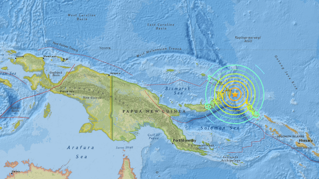
A 8.0-magnitude earthquake has struck off the coast of Papua New Guinea, and a tsunami threat has been issued to areas near the epicentre.
The US Geological Survey (USGS) says the quake struck 46 km east of Taron in Papua New Guinea on Saturday. The quake was deep, at 103 kilometers. Deeper earthquakes tend to cause less damage than shallow ones.
"Widespread hazardous tsunami waves are possible," the Pacific Tsunami Warning Center (PTWC) said in a message following the quake.
Papua New Guinea sits on the Ring of Fire, the arc of seismic faults around the Pacific Ocean where earthquakes are common.
(With inputs from Reuters and AP)
(At The Quint, we are answerable only to our audience. Play an active role in shaping our journalism by becoming a member. Because the truth is worth it.)