Powerful 7.6-Magnitude Earthquake Strikes Indonesia, Tsunami Warning Lifted
Aftershocks at a magnitude of 5.5 were reported by Indonesia's geophysics agency.
advertisement
A 7.6-magnitude earthquake struck Tanimbar Islands in Indonesia early on Tuesday, 10 January, the aftershocks of which were felt in some parts of Australia.
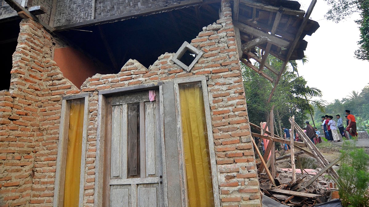
What happened? The powerful quake led to a tsunami warning, causing residents of Tanimbar – a group of 30 islands in eastern Indonesia's Maluku province – to flee their homes. The warning, however, was lifted three hours later. Initial reports suggested limited damage, according to Reuters.
Why you should read on: According to Reuters, Indonesia disaster agency officials said that at least 15 homes and two school buildings suffered damages. Aftershocks at a magnitude of 5.5 were reported by the country's Meteorology, Climatology, and Geophysics Agency (BMKG).
Why Indonesia? Indonesia experiences frequent seismic activity due to its position on the Pacific "Ring of Fire," where tectonic plates collide. Last November, a 5.6-magnitude earthquake struck Indonesia's most populated province, West Java, killing hundreds of people.
(With inputs from Reuters.)