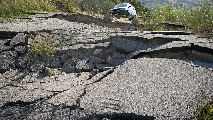
On Monday, the US Geological Survey (USGS) recorded a 5.9 magnitude earthquake in the Hindu Kush mountains in Afghanistan. Far away, even the National Capital Region and parts of Jammu and Kashmir felt the tremors.
The Hindukush mountain range, lying precariously at the junction between the Indian and the Eurasian plates, is prone to earthquakes and the US Geological study predicts that the Monday’s quake may just be a precursor to greater quakes that might hit the region.
The Monday quake was 224 km deep and thus did not cause much damage. The Indian plate is constantly moving north-north eastwards, colliding with the Eurasian plate under the Himalayan range. It was this shift that was responsible for the Nepal quake too.
Seismicity in the Himalaya dominantly results from the continental collision of the India and Eurasia plates. Northward underthrusting of India beneath Eurasia generates numerous earthquakes and consequently makes this area one of the most seismically hazardous regions on Earth.
— USGS Report on Seismotectonics of the Himalaya and Vicinity
The USGS report further explains the presence of two subduction zones. Subduction zones are are sites of high rates of volcanism, earthquakes, and mountain building. In this case, the Indian plate is being subducted beneath the Hindu Kush, while the Eurasian plate is being subducted beneath the Pamir region.
The report also explains that deep earthquakes like the one recorded on Monday, measuring 200 km and above in depth have been recorded in the region and are due to this subduction.
However, other models suggest that just one of the two plates is being subducted and that the slab has become contorted and overturned in places.
— USGS Report on Seismotectonics of the Himalaya and Vicinity
According to the USGS report, shallow and destructive quakes in the region are caused mainly because of the ‘Chaman fault’, the fastest moving fault in the region.
The active, left-lateral, strike-slip Chaman fault is the fastest moving fault in the region. In 1505, a segment of the Chaman fault near Kabul, Afghanistan, ruptured causing widespread destruction. In the same region the more recent 30 May 1935, M7.6 Quetta earthquake, which occurred in the Sulaiman Range in Pakistan, killed between 30,000 and 60,000 people.
— USGS Report on Seismotectonics of the Himalaya and Vicinity
It is generally thought that regional stresses, associated with the collision of the India and Eurasia plates, are responsible for faulting in the region, says USGS.
Though the system has produced no major earthquakes in the last 250 years, paleo-seismic studies indicate that it has the potential to produce M7.0+ earthquakes and it is thought to represent a significant hazard.
— USGS Report on Seismotectonics of the Himalaya and Vicinity