India’s total forest cover currently is 713,789 sq km. This is nearly 22% of India's total geographical area. India's target was to increase this up to 33% by this year. We are currently over 11% behind this target.
The total forest cover, however, has increased by a mere 1,540 Sq Km. This data has been released in India’s State of Forest Report (ISFR) 2021, the last version of this report came in 2019.
The notable points that the survey has revealed indicate that the forest cover that has been lost, a major part of it is from the country's dense forest areas. Whereas, the increase that we claim in our forest cover is mostly under 'open forest'. Open forest is a category of forest cover where the tree canopy density is 10-40%.
So in reality, our forest cover has actually been depleting, even though data says otherwise. Read further to understand how that has been happening.
What is Forest Cover?
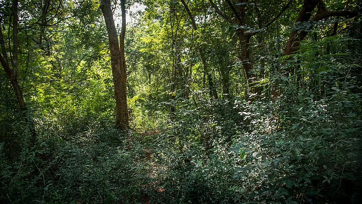
The Forest Survey of India defines ‘forest cover’ as all lands of a hectare or more with tree patches with canopy density of more than 10 per cent, including green patches--like orchards & plantations. These are outside ‘Recorded Forest Areas’ (RFA) which is land regarded as “forests” in govt records.
This covers all lands, irrespective of legal ownership and land use. ‘Recorded forest area’ includes only those areas recorded as forests in government records and includes pristine forests.
All forest cover has been divided into four categories according to their tree canopy density (TCD) :
Very Dense Forest (TCD: 70% or more)
Moderately Dense Forest (TCD: 40% to70 %)
Open Forest (TCD: 10% to 40%)
Scrub (TCD: less than 10%)
Forest Cover is Increasing But Forests are Depleting
India’s total forest cover increased by 1.5% compared from 2015 to 2017, by 0.5% from 2017 to 2019 and by 0.2% in the next two years from 2019 to 2021.
After ISFR-1999, the govt changed how it surveyed forests. In ISFR-2001, the govt used satellite mapping instead of topographic sheets which are maps with graphical representations of the Earth’s features. To explain loosely, satellite mapping looks at most green patches of land as forests like orchards planted for agriculture purposes or plantations.
And even when forest land is diverted for other non-forestry purposes such as mining, the legal status of the forest land does not change.
And, India felled nearly 11 million trees over 5 years to 2020 and it also diverted large swathes of forest land for development and other purposes.
So with changes in the methodology of calculating forest area, India has been able to show an increase in the overall forest cover on paper without an actual increase in forest cover.
This is being done so India can achieve its target of 33% forest cover 2022, which it has clearly failed to. Achieving this target is important for India to meet its other global promises of climate action.
Now open forests form the largest section of India's total forest cover, while very dense forests are merely 3.04%. Open forests have increased by 2,612 sq km in the last two years. Very dense forests have increased by just 501 sq km, while 1,582 sq km of moderately dense forests have been lost.
The net increase in the total forest land has mostly been an outcome of agro-forestry and plantations.