In Pics: Satellite Images Reveal Destruction in Rohingya Villages
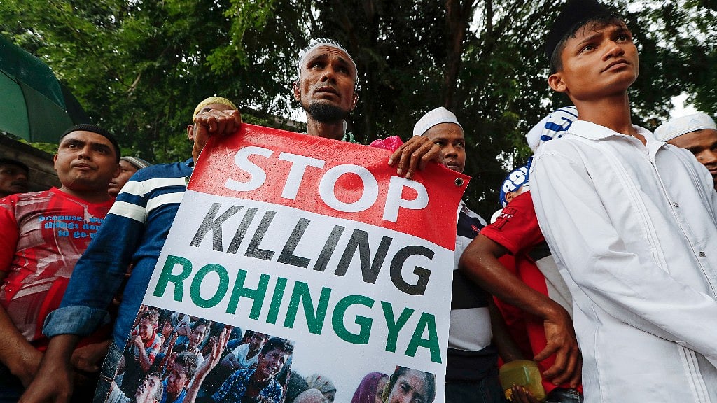
A Rohingya villager says the government is trying to systematically to drive Muslims minority from their villages.
advertisement
High-definition satellite images show 820 newly identified structures destroyed this month in five Rohingya Muslim villages in Myanmar's troubled Rakhine state where the military is carrying out counter-insurgency operations, a human rights group said on Monday.
An US-based Human Rights Watch urged the government to invite the United Nations to assist in an impartial investigation.
"These alarming new satellite images confirm that the destruction in Rohingya villages is far greater and in more places than the government has admitted," said Brad Adams, the Asia director for the group.
The president's spokesman, Zaw Htay, last week accused Human Rights Watch of exaggeration after the release of an initial set of satellite imagery that showed 430 destroyed buildings in three villages.
He accused the international media of misreporting the situation in Rakhine, where the government has mounted a massive security operation since nine police officers were killed by unidentified assailants who attacked guard posts in Maungdaw village bordering Bangladesh last month.
The government has acknowledged using helicopter gunships in support of ground troops in the operations.
It has implied that the attacks were carried out by sympathizers of the minority Rohingya, who face intense discrimination, repression and violence in Rakhine state.
They have frequently been targeted by the Buddhist Rakhine majority, who view them as illegal migrants. The state denies them citizenship even though they have lived in the region for generations. More than 100,000 Rohingya still live in camps after being driven from their homes following clashes with the Rakhine people in 2012.
Human Rights Watch said the new satellite imagery — recorded on 10 November and 17-18 November — brings to 1,250 the number of destroyed buildings documented by it.
"Instead of responding with military-era style accusations and denials, the government should simply look at the facts and take action to protect all people in Burma, whatever their religion or ethnicity," Adams said.
Ko Ko Linn, an activist of Arakan Rohingya National Organization, said more than 100 people have been killed, at least 1,000 houses in Maungdaw have been burned and hundreds have been arrested.
A Rohingya villager says the government is trying to systematically to drive Muslims minority from their villages.
On Friday, the United Nations warned of a worsening rights situation in Rakhine state. Tens of thousands of people have fled their homes amid the security operation.