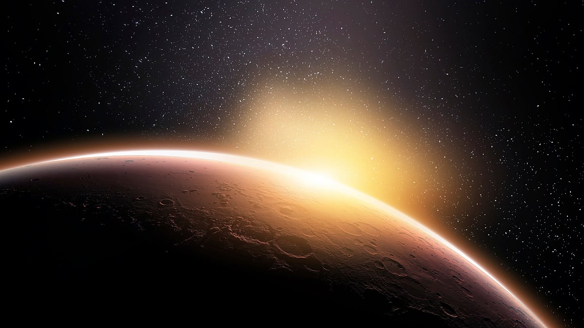
New Mars Gravity Map Reveals Chilling Details
Researchers have developed a new Mars gravity map which will help with the exploration of Mars much more.
advertisement
Researchers have developed a new map of Mars’ gravity with three NASA spacecrafts that is the most detailed to date, providing a revealing glimpse into the hidden interior of the Red Planet.
The new gravity map will be helpful for future Mars exploration because better knowledge of the planet’s gravity anomalies helps mission controllers insert spacecrafts more precisely into the orbit of Mars.
The improved resolution of the new gravity map suggests a new explanation of how some features formed across the boundary that divides the relatively smooth northern lowlands from heavily cratered southern highlands.
Finally, by observing how Mars’ gravity changed over 11 years - the period of an entire cycle of solar activity - the team inferred the massive amount of carbon dioxide that freezes out of the atmosphere onto a Martian polar ice cap when it experiences winter.
They also observed how the mass moves between the south pole and the north pole with the change of season in each hemisphere.
The map was derived using data collected by NASA’s Deep Space Network from three NASA spacecraft in orbit around Mars: Mars Global Surveyor (MGS), Mars Odyssey (ODY), and the Mars Reconnaissance Orbiter (MRO).
Like all planets, Mars is lumpy, which causes the gravitational pull felt by spacecraft in orbit around it to change.
For example, the pull will be a bit stronger over a mountain, and slightly weaker over a canyon.
The gravity field was recovered using about 16 years of data that were continuously collected in orbit around Mars.
The better resolution of the new map helps interpret how the crust of the planet changed over Mars’ history in many regions.