7.6 Magnitude Earthquake Strikes Eastern Indonesia, Tsunami Warning Issued
As per the EMSC, “hazardous” tsunami waves are possible for coasts within 1,000 km of the epicentre of the quake.
advertisement
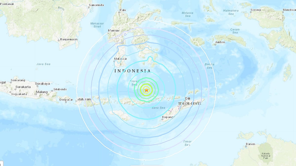
Triggering a tsunami warning, an undersea earthquake of magnitude 7.6 struck Indonesia on Tuesday, 14 December, the United States Geological Survey (USGS) said.
The quake struck 112 kilometer north of Maumere, on Indonesia's Flores Island, CNN reported.
Indonesian authorities estimated the earthquake at magnitude 7.5, which struck the region of East Nusa Tenggara in the Flores Sea.
Further, as per the EMSC, “hazardous” tsunami waves are possible for coasts within 1,000 km of the epicentre of the quake.
The USGS highlighted that “recent earthquakes in this area have caused secondary hazards such as tsunamis and landslides that might have contributed to losses.”
However, the chances of casualties are low since it was an undersea earthquake, USGS noted.
(With inputs from CNN.)